by admin | Jul 21, 2017 | Modeling Tutorials, Tutorials
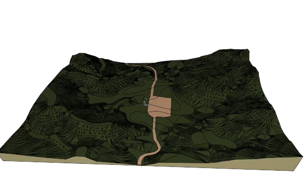
The tutorial shows the steps that should be taken in order to build a terrain from the base lines of a topographic map. With the help of the Magic Wand the lines of the map can be quickly adapted and afterwards the lines can receive their height values. As part of the...
by admin | Jul 20, 2017 | Modeling Tutorials, Tutorials
Using hotlinked modules is an option for working with parallel model files while in the meantime integrating them into a joint project file. This soltuion can also be a way for working in a team, though ARCHICAD also provides much more developed options for this....
Recent Comments